circa 1861
Klosterman, H. (fl. 1861)
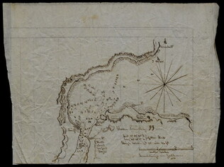
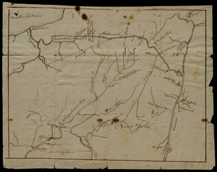
Map of the Seat of War in South Carolina
Shows the Atlantic coast from Savannah to Winyaw Bay, with Charleston featured prominently in the lower center. Indicates towns, roads, and some topographical features. Painted and drawn on a coated, fine weave "architect's" linen. Mostly black...
GLC07086.04