Lesson by Tim Bailey
Essay by Jay H. Buckley, Brigham Young University
Grade Level: 7–12
Number of Class Periods: 4
Primary Era: The New Nation, 1783–1815

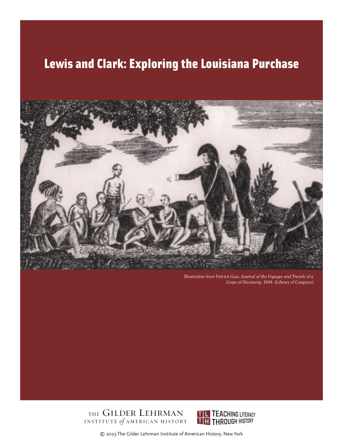
The four lessons in this unit explore the Lewis and Clark Expedition, which mapped the Louisiana Purchase. Students will read entries from journals written during the expedition. They will then engage in classroom discussion to evaluate the experiences of the expedition and study maps to compare the journal entries with the actual route of exploration.
Lesson Plan Author: Tim Bailey
Historical Background Essay by: Jay H. Buckley, Brigham Young University
CCSS.ELA-Literacy.RH.11-12.1: Cite specific textual evidence to support analysis of primary and secondary sources, connecting insights gained from specific details to an understanding of the text as a whole.
CCSS.ELA-Literacy.RH.11-12.4: Determine the meaning of words and phrases as they are used in a text, including analyzing how an author uses and refines the meaning of a key term over the course of a text.
CCSS.ELA-Literacy.RH.11-12.6: Evaluate authors’ differing points of view on the same historical event or issue by assessing the authors’ claims, reasoning, and evidence.
CCSS.ELA-Literacy.SL.9-10.1: Initiate and participate effectively in a range of collaborative discussions (one-on-one, in groups, and teacher-led) with diverse partners on [grade-level] topics, texts, and issues building on others’ ideas and expressing their own clearly and persuasively.
What were the challenges the explorers faced?
What were the explorers’ accomplishments?
Selected Entries from the Journals of the Lewis and Clark Expedition
William Clark and Samuel Lewis, “A Map of Lewis and Clark’s Track, across the Western Portion of North America from the Mississippi to the Pacific Ocean; By Order of the Executive of the United States in 1804, 5 & 6” published in Meriwether Lewis, History of the Expedition under the Command of Captains Lewis and Clark (Philadelphia: Bradford and Inskeep, 1814).